
The Course
The Mule Trail course extends from the Panamanian border in southern Costa Rica all the way to the Nicaraguan border, in the northern part of this small but rugged Central American country.
Course Sections
The Mule Trail course is a mix of mainly gravel roads, primitive dirt trails, one beach section and a few short connecting sections on pavement. A complete GPX file will be provided to all registered participants along with detailed cue sheets. However, for information and planning purposes, the course has been broken down into six individual sections based on their unique terrain, weather or land use purpose.

Coffee Plantations
The first 70 kilometers will take you from the Panamanian border to the highest point of the entire course (Cerro Paraguas at 1,500 meters above sea level) then down to the Terraba river crossing, but before reaching the mighty river, you'll climb multiple ridges with steep climbs and high humidity as you lose overall elevation. On this section, you'll climb around 2,500 meters yet you'll complete it at near sea level.
Indigenous Territory
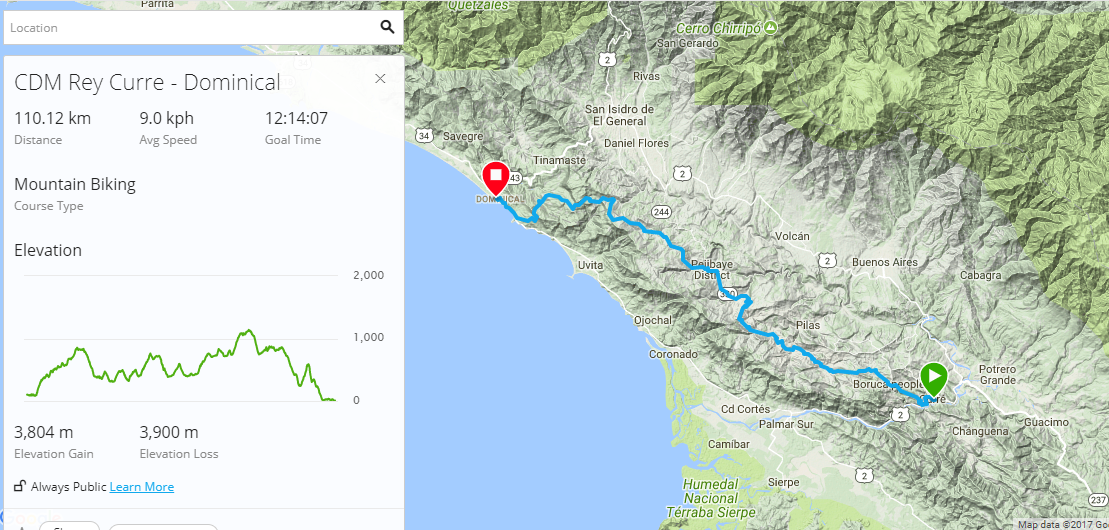
This is by far the toughest portion of the course and one of the main reasons for running the event south to north. Once on the other side of the Terraba river the climbing doesn't stop. It continues on for the next 100+ KMs until you reach the ridge that serves as the backdrop for Dominical Beach, then it's a quick downhill to the ocean.

Beach and Palm Plantations
This third portion is also the start of the 450 course. The difficulty of the climbs after this point is a little more gentle, although not completely flat. It starts with a 20+ KM ride on the beach before turning inland into the vast maze of oil palm plantations. There will be some climbing after crossing the Savegre river before dipping down to another sea of palms and flat roads

Welcome to the Jungle
This is the shortest portion, but a tough one. After leaving behind the palms, the course ventures into the thick jungles of the Carara National Forest. Wet, muddy and humid. This portion, though short, is one we recommend to be well rested and prepared. It's also not advisable to tackle this segment tired as you will need sharp handling skills and strong legs to power up the steep, muddy hike-a-bike sections.

Sugar Cane Plantations
After leaving behind the Carara jungle, the course reaches the town of Lagunas. After crossing the Turrubares river and a short ride on pavement to Orotina, the course drops down towards the coast using abandoned railroad tracks until it it reaches portions of the original colonial Mule Trail. From here the route continues northwest, among sugarcane, pineapple, watermelon and other tropical plantations that thrive in the heat and humidity. This is the hottest and longest section but also the fastest.

Land of Volcanoes
This is the final segment, however it will be a challenging one. A gradual climb will take you away from the sugarcane fields to the slopes of the Rincón de la Vieja Volcano. Once you climb the backside of one of its dormant craters, you'll cross into the northern sub-basin, which drains towards Lake Nicaragua.
After a 10 KM downhill, you'll still have to make it across a series of rollers within the Buenos Aires Reserve, but after that it's just false flats and big rollers all the way to the Finish Line on the Nicaraguan border.